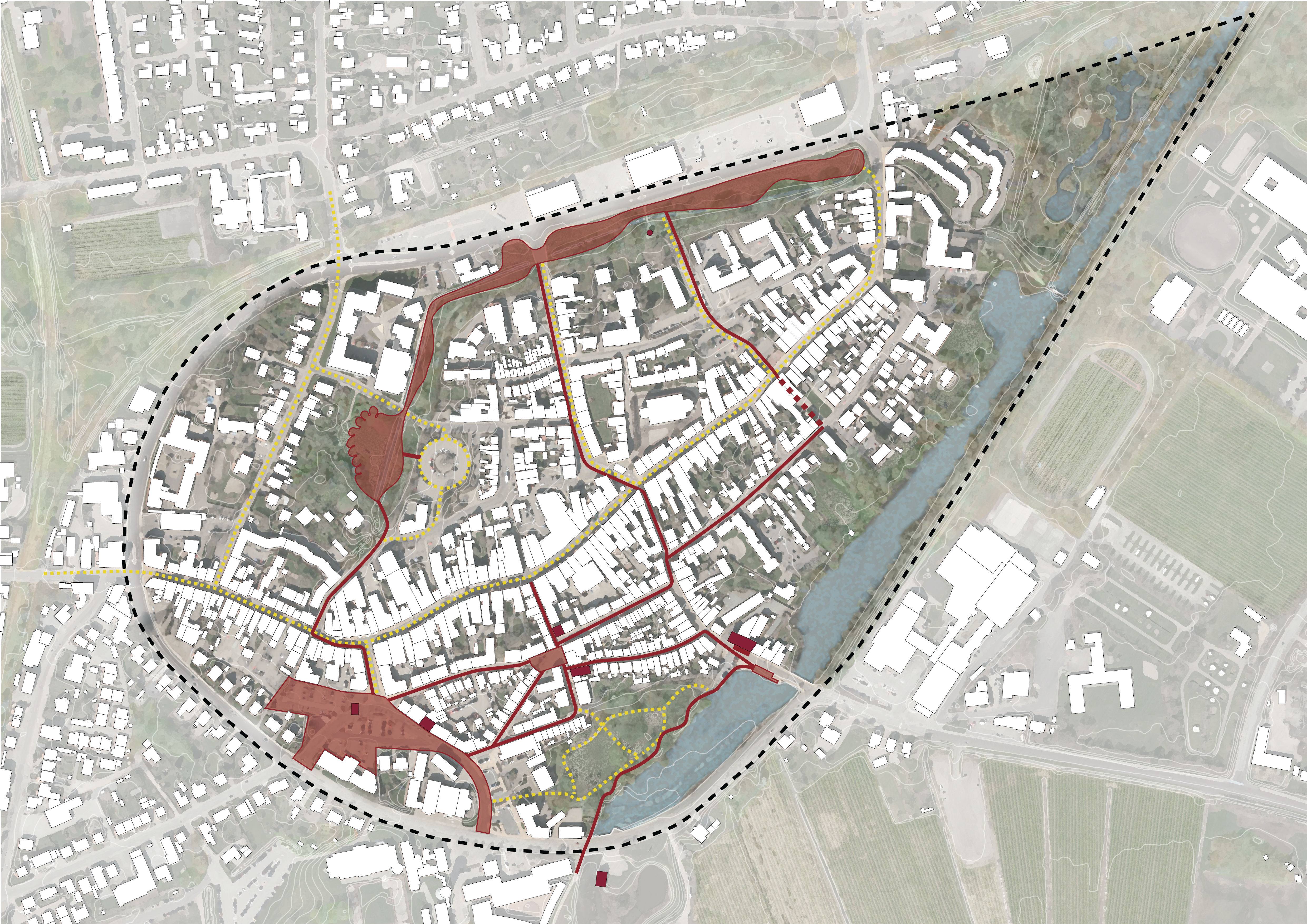
This summer NOAA Architects partnered up with Rambøll, Anna-Mette Exner Arkitektur and Kontrapunkt for a competition on city space transformation and new climate solutions for the old, historic inner part of Tønder.
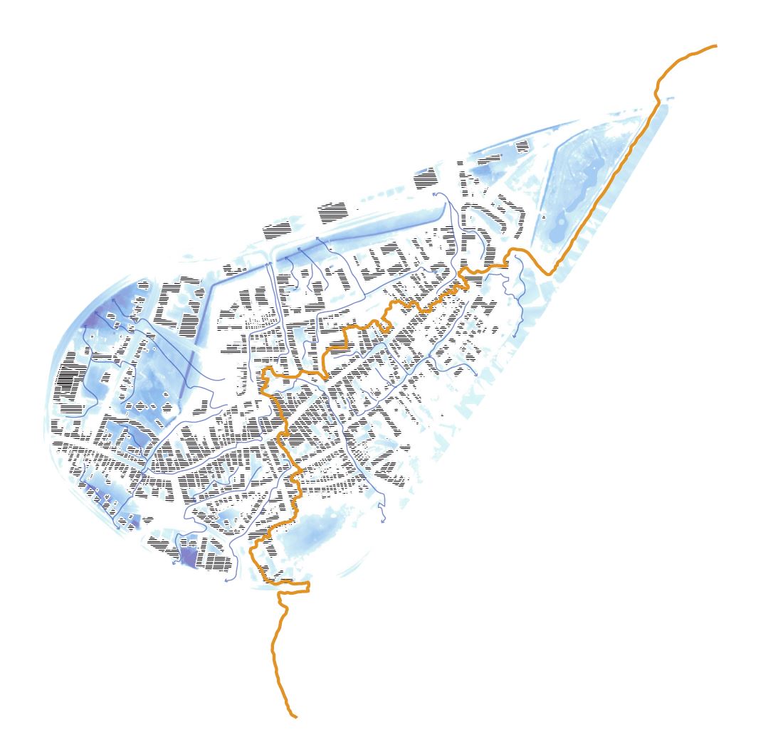
We still find ourselves mesmerized by the topographic of the old town.
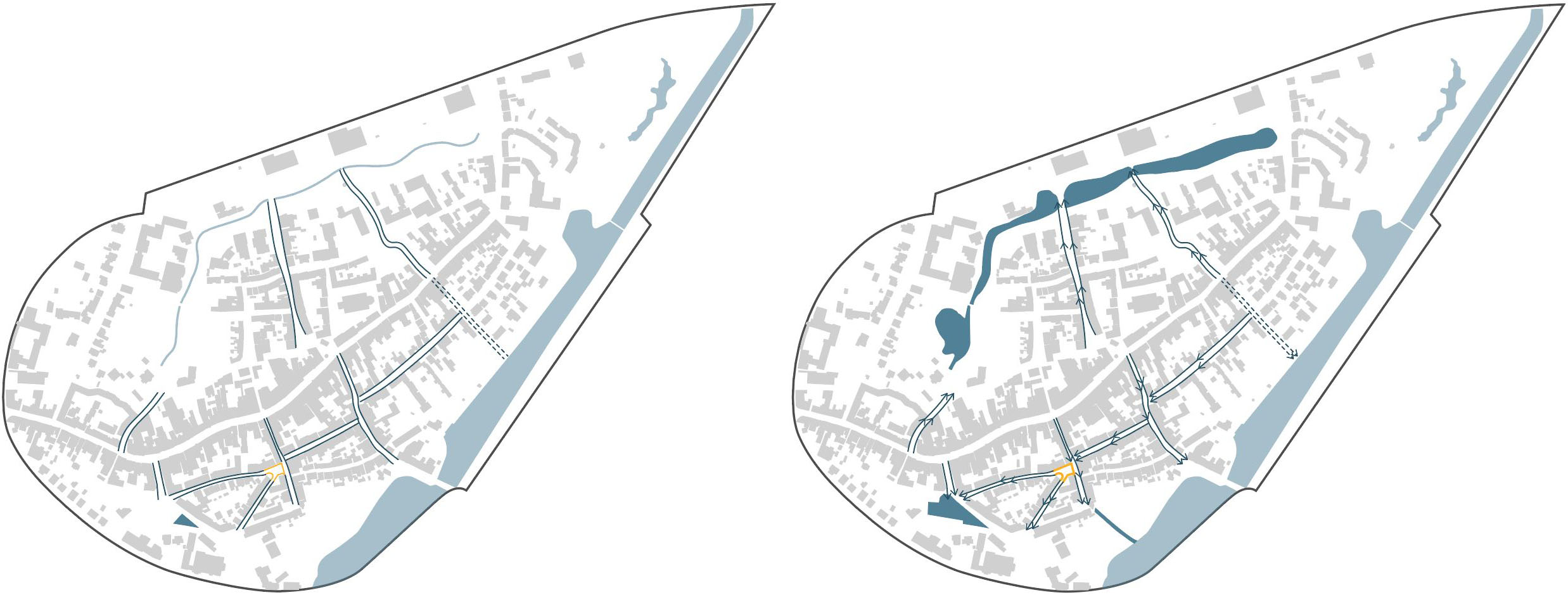
left: The norm in Tønder / right: During heavy rain
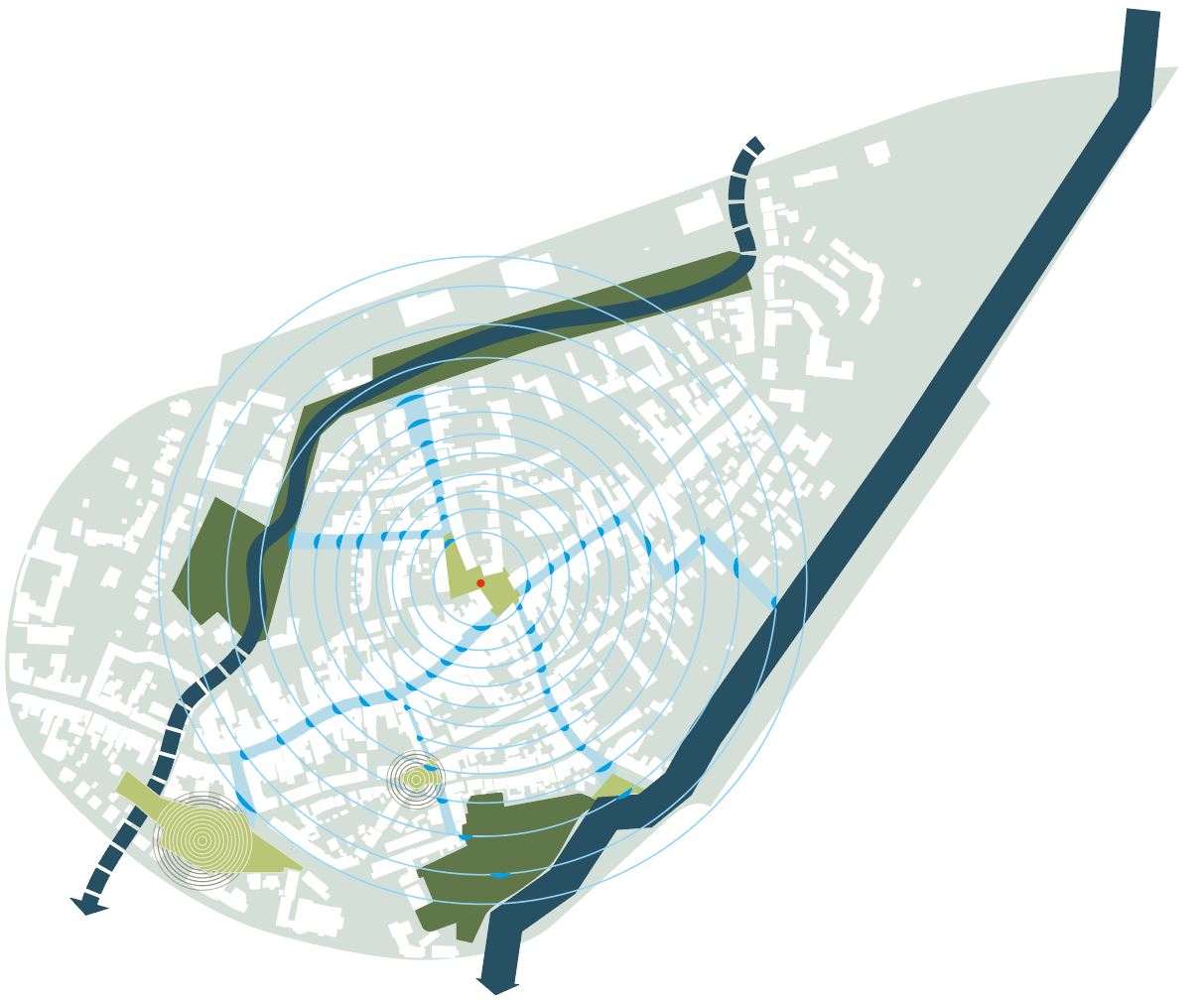
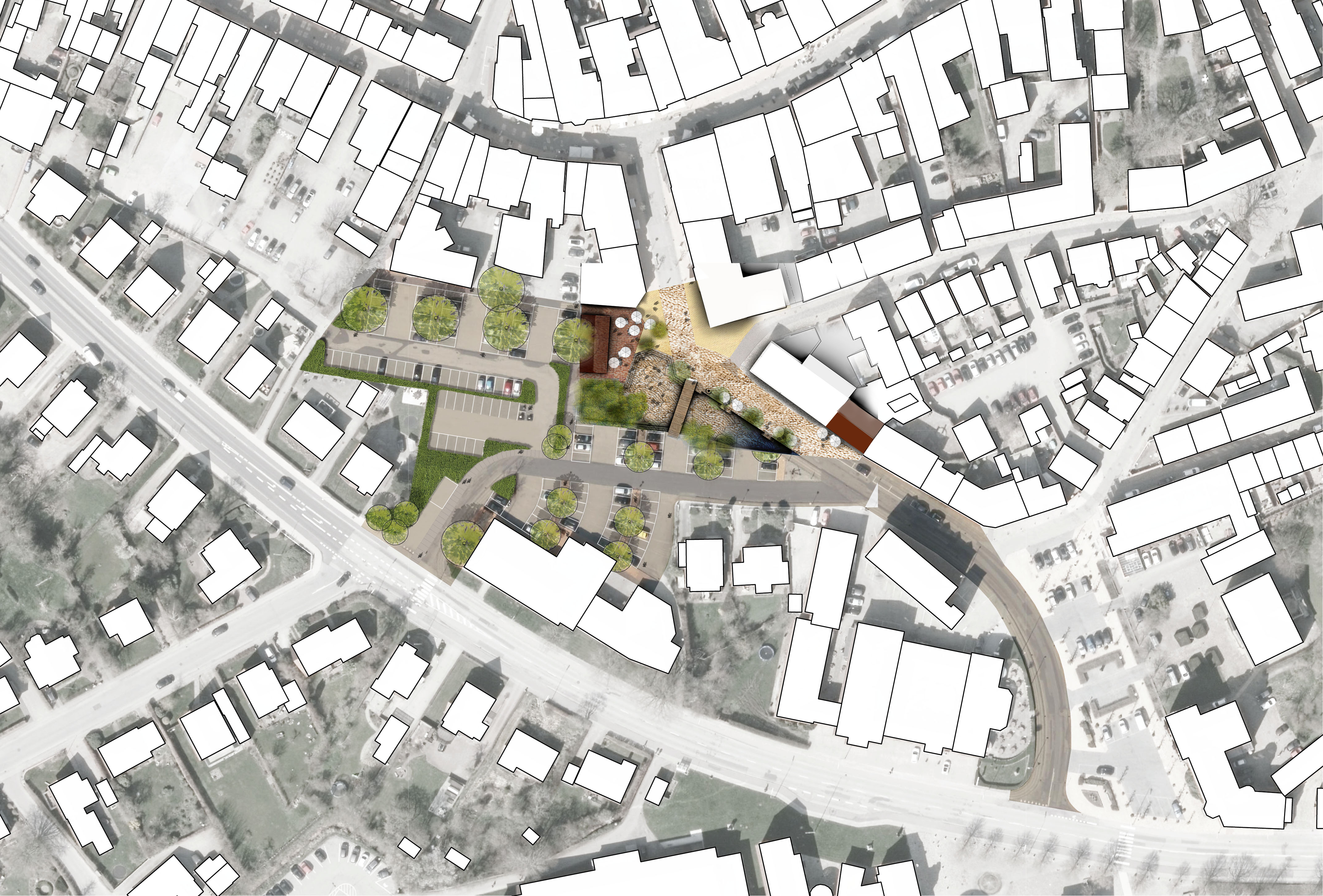
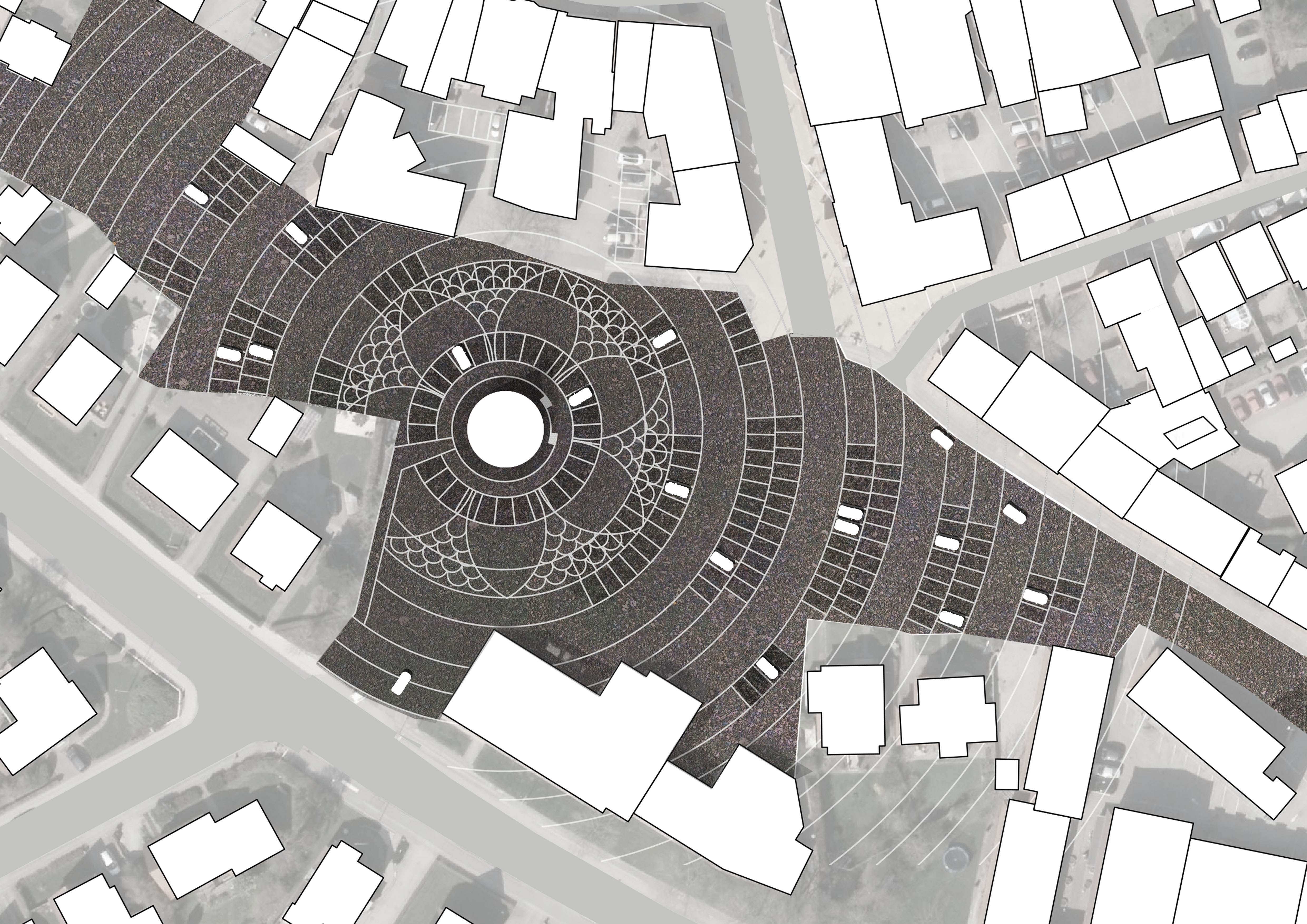
Aktivitetsbåndet – ØST

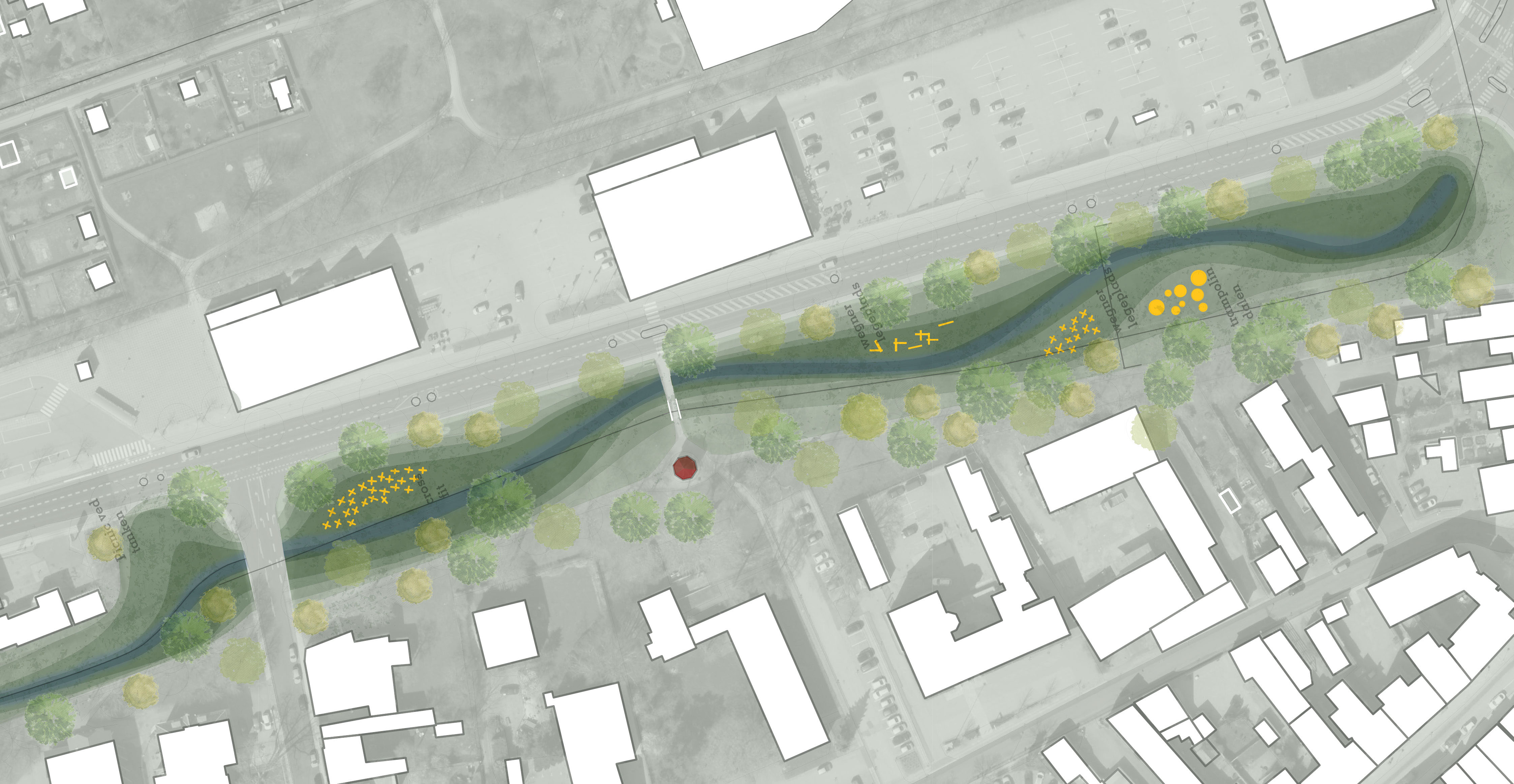
Aktivitetsbåndet – VEST

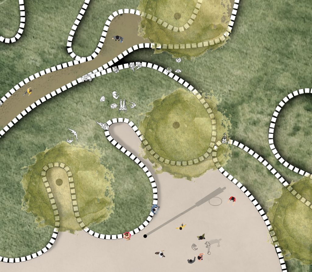
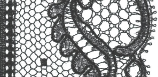
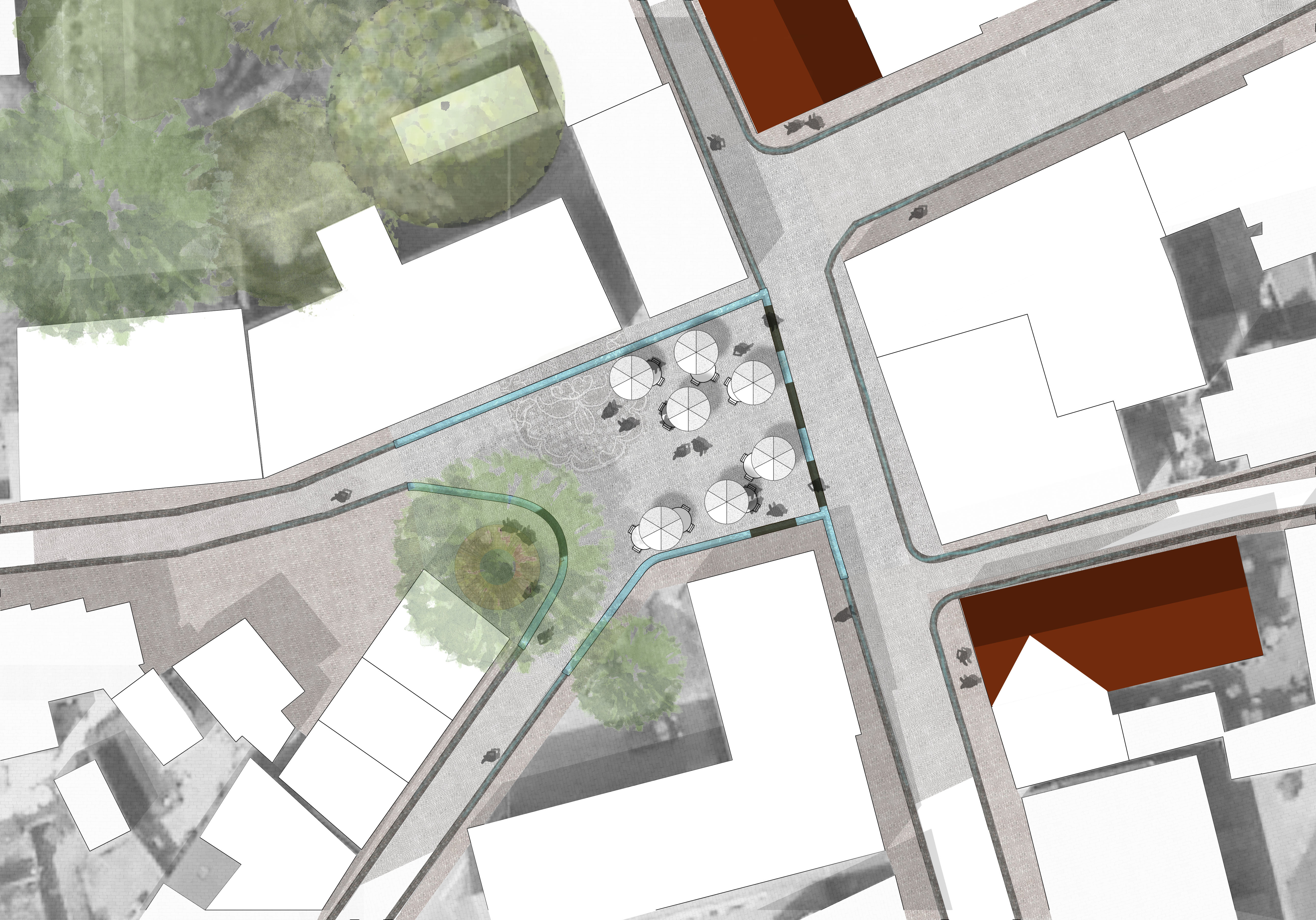
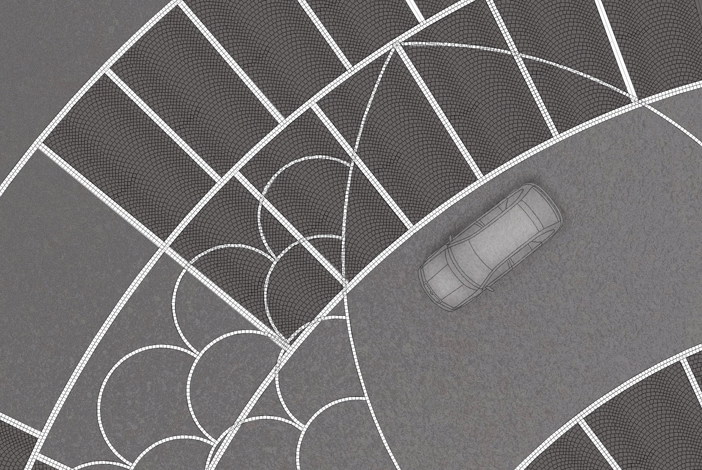
From above you see a pattern inspired by the historic lacing-tradition in Tønder. The dynamic shapes invite a variation of activities. E.g. picnics, sport, teaching of the local high school students or concerts at the annual festival.
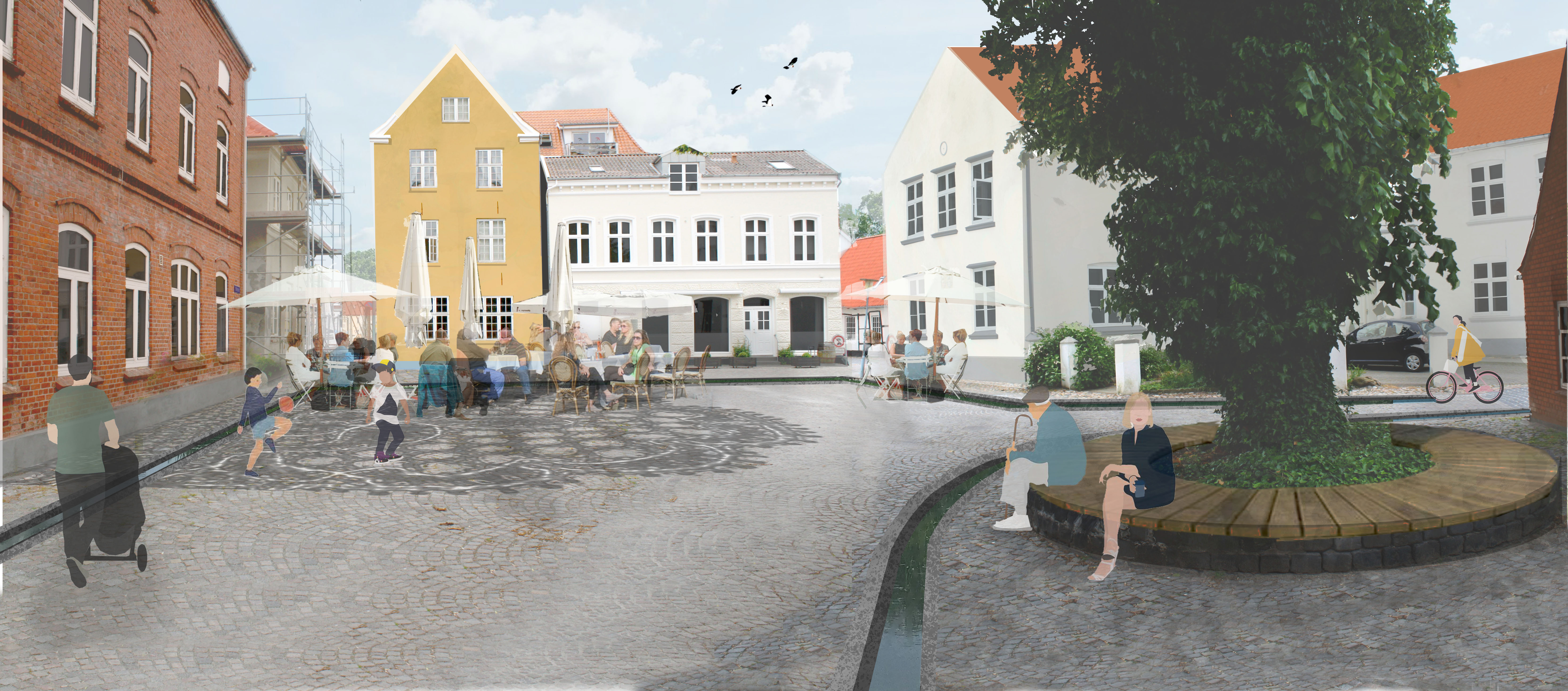
Gråbrødrekvarteret

Skibbroen
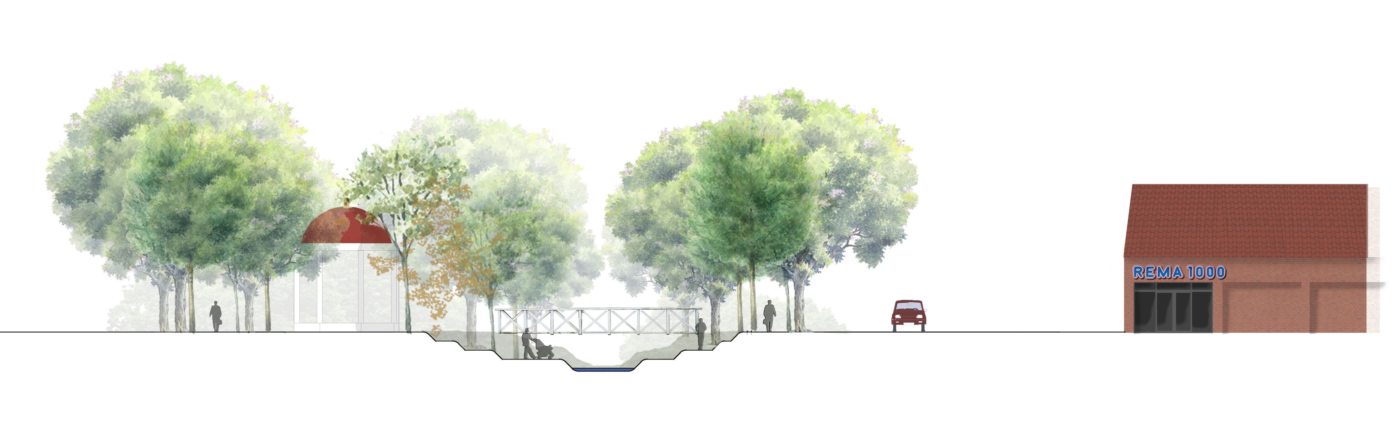
Skibbroen will remain the main parking lot, but a small square with a new building and a reservoir for rainwater will be added. When the recessed plaza isn’t filled with water it can be used as a amphitheater, host a small market or as a skating ring in the winter.
The street Skibbroen will change it’s use and favour pedestrians more.
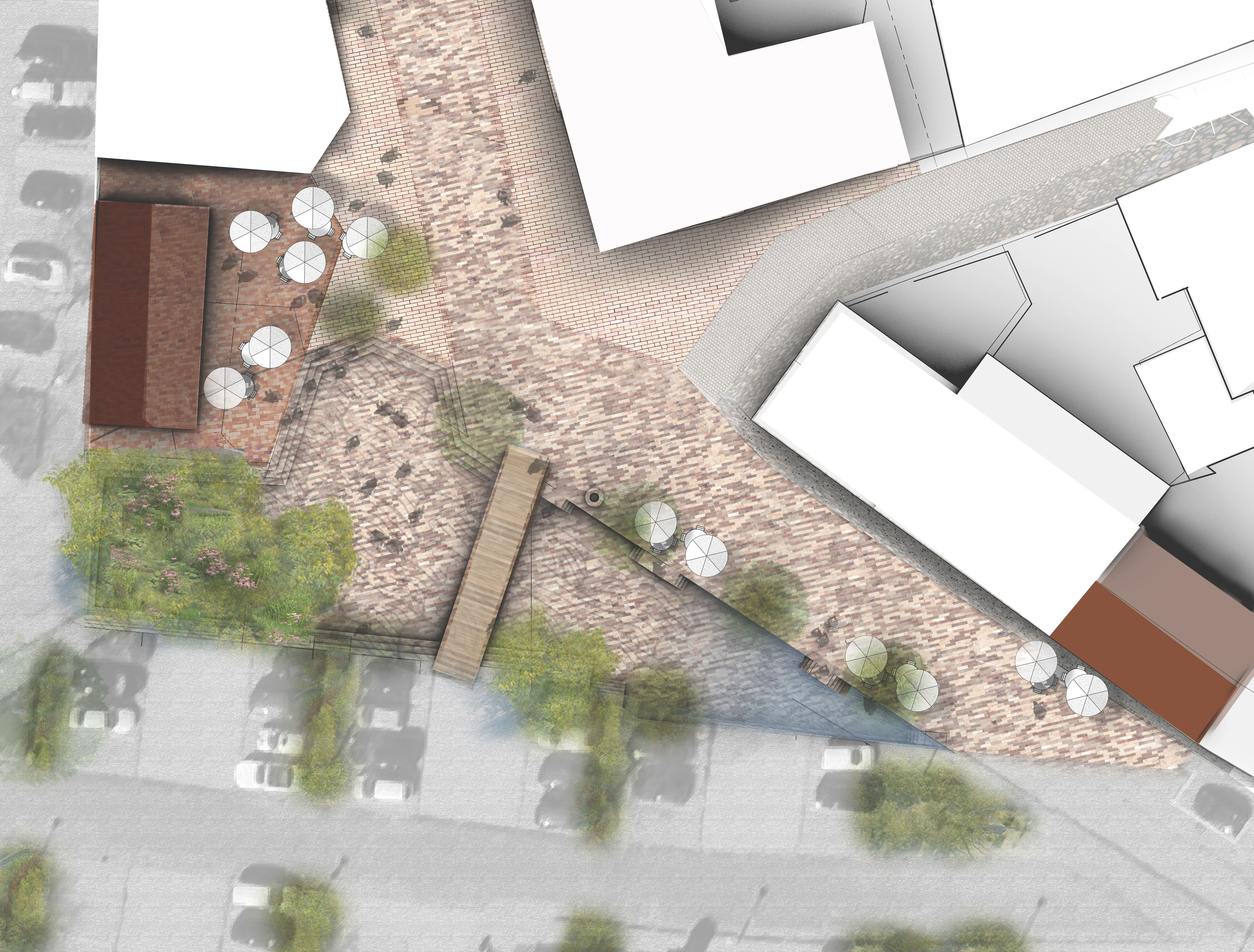

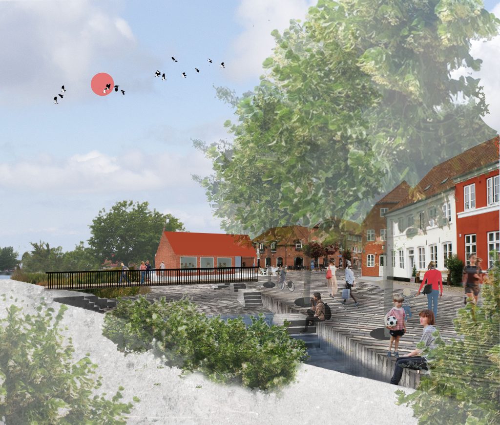
Skulpturhaven
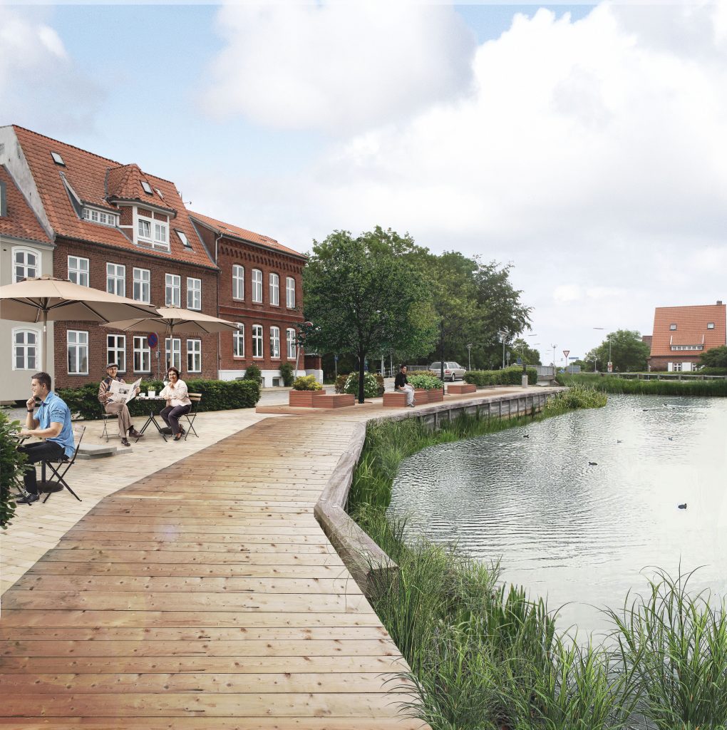
’Skulpturhaven’ is placed on the border between the city and the marshes. The new wooden pier improves the pedestrian connection between the two and frames the view of the fields. Due to occasional floodings the walkway is raised.